Old map of Guinea


 Français


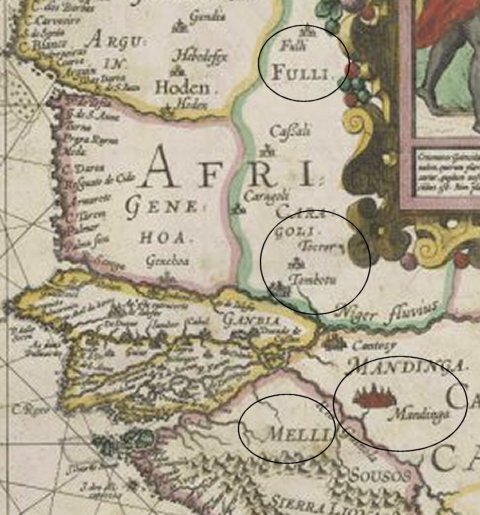
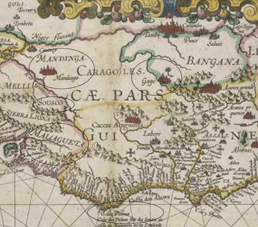
Old map of « Guinean part of Africa » (« Africae Pars Guinea »), work of the cartographers S. Rovelascus and Ludovicus Texerra, «protocosmograph» of the King of Spain showing a «vast kingdom full of gold in Guinea» (« Ampli Regni Auriferi Guineae ») extending from Green Cap to « Benin river » (« extensum...de Cabo Verde ad flumen Benin »).


If you focuse on the west part of this map, you should notice :

1. from top to below


dot the Fulas area (« Fulli ») and the Tekrour (« Tocror ») kingdom ;


dot just below, Timbuktu (« Tombotu »)


2. from west to east


dot the rivers of Senegal (« R.(io) Senega ») and Niger (« Niger Fluvius »)


dot the Gambia area (« Ganbia»)


3. below and middle


dot the Mali (« Melli »), the Soussou (« Sousos ») and the moutain range of Fouta Djallon


dot « Mandinga » and Gao [?] (« Gago ») cities


dot the « Sierra Liona » and the Nimba moutains


4. below to the right


dot the « Malagueta » coast


dot the Palmas coast ( « C. das Palmas...da costa da Malagueta »).


West part of the map  


[back


 [Previous] [Home] [Search]